
Day Trips & Nature
Doi Inthanon Day Trip Guide
Plan a day trip to Doi Inthanon, Thailand's highest peak — getting there, highlights, fees, timing and what to pack.
6 min read
By Daniel Calleja, founder of The Chiang Mai Brief and Chiang Mai resident.
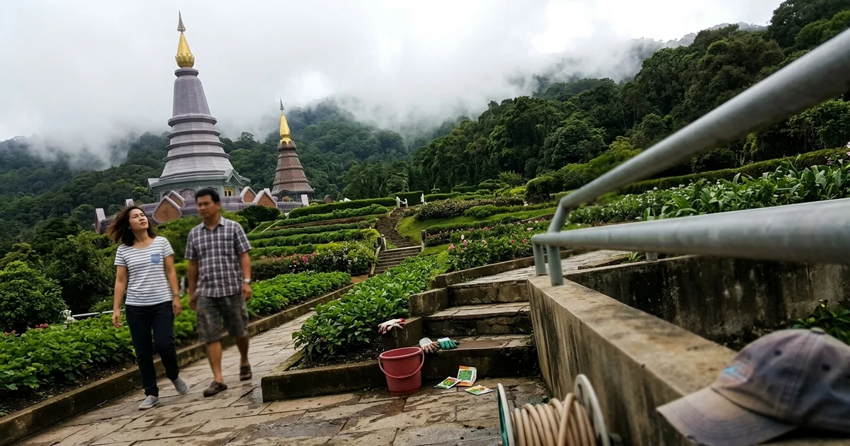
The full-day trip
Doi Inthanon is Thailand’s highest peak at 2,565 metres, roughly two hours south-west of Chiang Mai. The national park around it covers waterfalls, cloud forest, hill-tribe villages, agricultural project sites and the two royal pagodas that most visitors come for.
It’s a full day and worth planning properly rather than treating as an afternoon out. This guide sits under our day trips and nature hub.

Getting there
| Method | Notes |
|---|---|
| Organised tour | Simplest, fixed itinerary, minibus, often rushed at each stop |
| Rented car | Best option — stop where you like, control your own timing |
| Motorbike | Excellent ride for confident riders; long day, mountain road |
| Private driver | Comfortable, flexible, more expensive than a tour |
The route runs south-west via Chom Thong. It’s a good road, well surfaced, with a steady climb once you enter the park. If you’re building a wider list of day trips, ethical elephant sanctuaries is the other excursion most people want to get right. North of the city, Bua Tong Sticky Waterfall is the half-day where you climb the limestone rather than drive to a summit.
If you’re riding, see our getting around guidance on scooter rental and safety first. This is a 200km round trip on mountain roads — not a first-day-in-Thailand ride.
The highlights
The twin royal pagodas. Napamethanidol and Napaphonphumisiri, built for the King and Queen’s respective sixtieth birthdays, sitting near the summit with terraced gardens and views over the range. The most photographed part of the park and genuinely impressive.
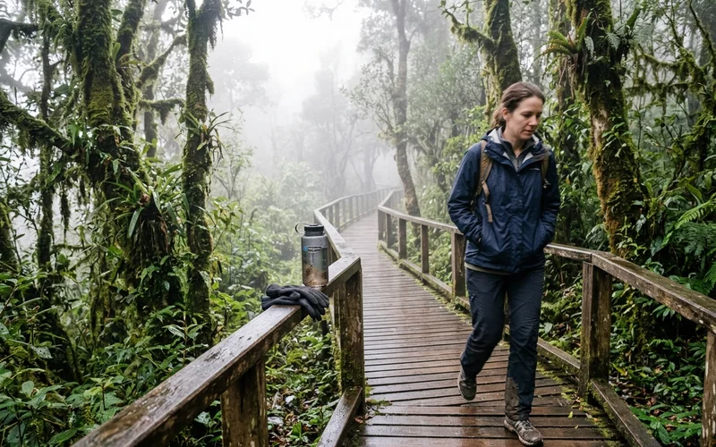
The summit. Marked by a stupa and a sign, plus the Ang Ka nature trail — a short boardwalk loop through cloud forest thick with moss, ferns and epiphytes. The vegetation up here is unlike anything at Thai lowland altitude.
Waterfalls. Several along the approach road, including Wachirathan, which is substantial and easy to reach, and Sirithan and Mae Ya further out.
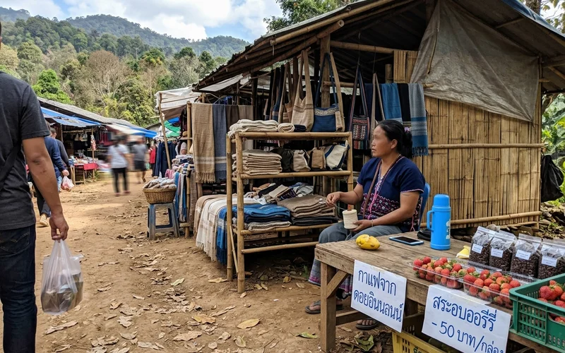
Hill-tribe villages and agricultural projects. Karen and Hmong communities within the park, with markets selling coffee, woven goods and, in season, strawberries.
Rice terraces. The Pa Bong Piang terraces, in the wider area, are spectacular in green season and require a detour.
Timing
Best season: November to February. Clear air, cold mornings, the best chance of mist in the valleys and views from the top.
Worst season: February to April, when burning-season haze reduces the views to grey. The forest is still worth seeing; the panoramas are not.
Time of day: leave Chiang Mai by 7am. Early gets you the mist, the cool, and the summit before the coaches. Leaving at 10am means arriving into crowds and heat.
How long: allow 10–12 hours door to door for a relaxed version.
What to pack
- A jacket. The most-forgotten item. It is cold at the top.
- Long trousers. Comfort at altitude and at temple sites.
- Cash. Park fees, site fees, food, and small purchases at villages. Cards are not useful here.
- Water and snacks. Food is available but sparse between sites.
- Rain layer in green season. Mountain weather changes quickly.
- Sun protection. UV is strong at altitude even when it feels cool.
Fees
National park entry is charged per person, at a higher rate for foreigners, plus a vehicle charge. Some sites within the park — notably the summit nature trail — carry an additional fee.
A Thai driving licence or work permit occasionally secures the local rate. Bring cash in small notes; there’s no reliable card facility.
A realistic itinerary
| Time | Where |
|---|---|
| 07:00 | Leave Chiang Mai |
| 09:00 | Wachirathan waterfall |
| 10:00 | Enter the park proper, drive up |
| 11:00 | Summit and Ang Ka nature trail |
| 12:30 | Twin royal pagodas and gardens |
| 14:00 | Lunch at a village or park restaurant |
| 15:00 | Second waterfall or village market on the way down |
| 17:30 | Back in Chiang Mai |
Compress it if you must, but the summit and the pagodas are the two you shouldn’t rush.
Stay updated
Get the Chiang Mai Brief
Useful local updates, new guides, openings and practical information for living in or visiting Chiang Mai.